

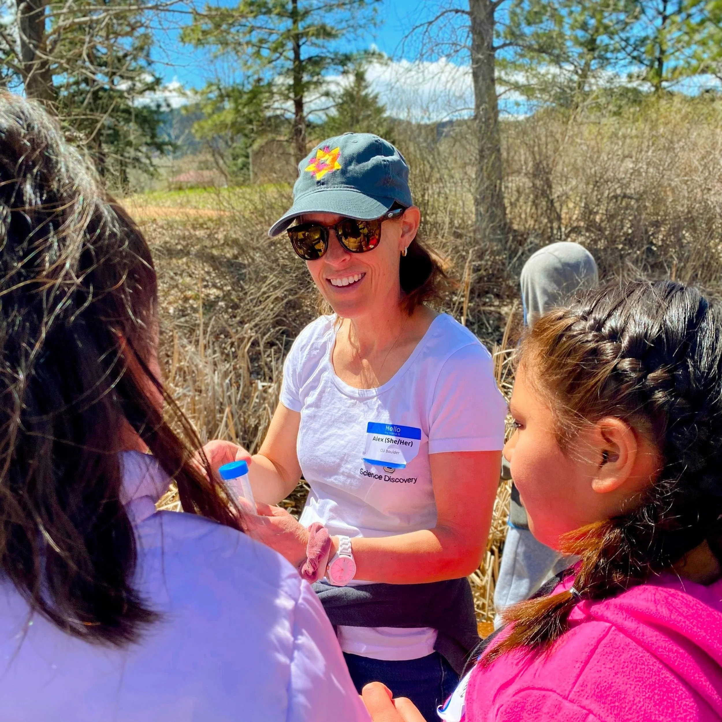
We are an enthusiastic group of faculty, students, and staff with a shared passion for long-term studies and team science. While we hail from universities across the country, our shared desire to better understand high-elevation systems brings us together on Niwot Ridge.
Principal Investigators

Staff

Senior investigators
Postdoctoral researchers

Graduate students
Seasonal Technicians
Affiliates
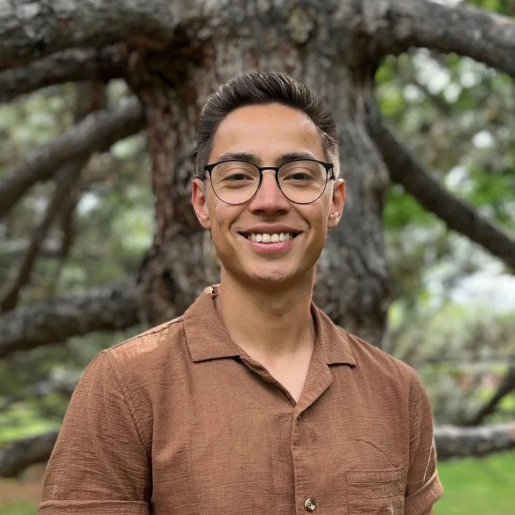
Cliff Bueno de Mesquita
Department of Ecology & Evolutionary Biology
University of Colorado, Boulder
Diane Ebert-May
Distinguished Professor
Michigan State University
Katja Friedrich
Department of Atmospheric and Oceanic Science
University of Colorado, Boulder
Iggy Litaor
Galilee Research Institute and Tel Hai College
Upper Galilee, Israel
Daniel Liptzin
Institute of Arctic and Alpine Research
University of Colorado, Boulder
Nicole Miller-Struttmann
Department of Biology
Webster University
Klara Scharnagl
Jepson Herbarium
University of California, Berkeley
Kamini Singha
Department of Geology and Geological Engineering
Colorado School of Mines
Ryan Webb
Department of Civil and Architectural Engineering and Construction Management
University of Wyoming
To discuss becoming an affiliate of the Niwot Ridge LTER, please contact our project coordinator.
To see recent alumni of the Niwot Ridge LTER, click here.